The Inner Passage
The Inner Passage began with a question. While cooling off in a river near her home in Charleston, South Carolina, Richards found herself thinking about the deep histories held in the landscape and the waterways that shaped it. That moment sparked a fifteen-year inquiry—part fieldwork, part archival excavation—into the maps, documents and lived memories embedded in the region’s marshlands.
Her research uncovered a largely unrecorded 300-mile network of colonial-era canals—known as “cuts”—carved between the 17th and 18th centuries along the Atlantic coastline from Charleston, South Carolina, to St. Augustine, Florida. Built largely by enslaved Africans and Indigenous people using little more than shovels and axes to clear forests and excavate coastal mud, these waterways remain sparsely documented; the Black workers’ names were never recorded. Richards traced this intricate system through fragile plats, scattered family papers and maps marked only by the silhouettes of ancient live oaks—many of which still stand as witnesses today.
From the late 1600s through the early-1800s, enslaved people used segments of the Inner Passage route to escape from Charleston to Spanish Florida, where they were granted freedom. This layered history shaped Richards’ approach to the work.
“I wanted to visually document what was there,” she recalls, “but my first photographs didn’t convey the history or the ambience of the place.” She turned instead to wet-plate collodion, a 19th-century photographic process whose alchemical unpredictability mirrors the watery, shifting world she sought to capture. “Wet-plate collodion demands that the photographer embrace chaotic elements and uncertain outcomes. A slight change in atmospheric temperature or humidity alters chemical volatility and the eventual image on the glass.”
From this deep immersion emerged portraits—of the trees and of the living descendants connected to the waterways. Many of the people she photographed carried family histories rooted in the region for centuries, mirroring the geological and cultural time embedded in the land itself. “They were like the trees,” Richards says. “They had overseen everything.”
The Inner Passage has been recognized for its intertwined layers of rigorous research, environmental awareness and poetic visual language. Yet Richards resists a didactic reading. “I want people to experience it as a visual poem,” she says, “to feel—through the land, the trees, the water—the sense of place, and the power of the landscape telling its own history.”

Witness Tree on the Combahee River, SC

Kathy Holmes, James Island, SC

Harbor Map from 1711 shows depths along the Inner Passage

Anilena Hammes, Charleston, SC

Vennie Deas Moore, Historian, Georgetown, South Carolina

Field cultivated since the late 1600s, Wadmalaw Island, SC
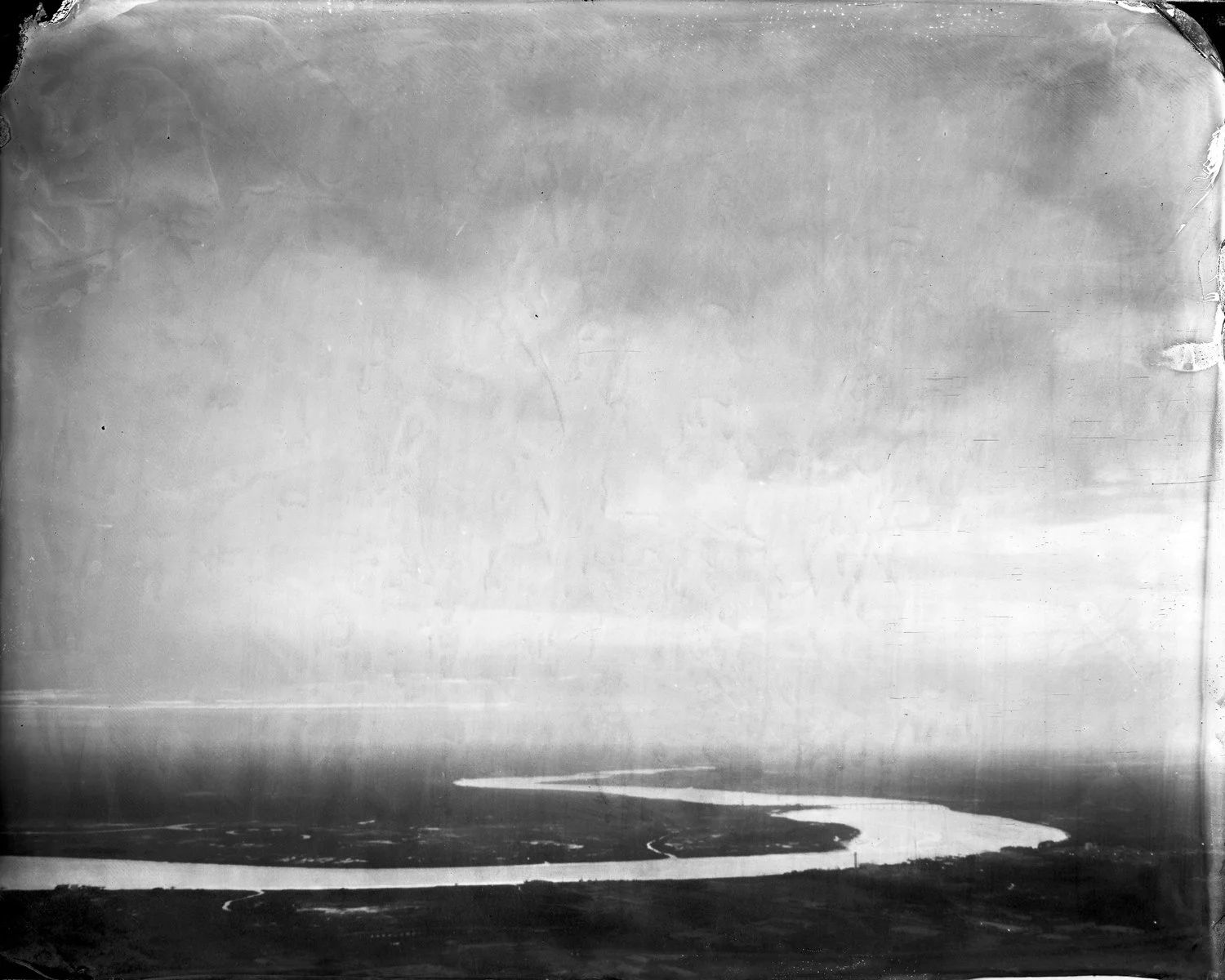
Inner Passage waterway looking southward from Charleston